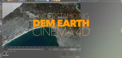
There are a few really great plugins that will allow you to work with DEM (Digital Elevation Model) data within Cinema 4D. One of them, DEM Earth is pretty amazing actually. But what if you don’t have the cash to fork-out for third party tools? You should still be able to work with DEM data in C4D, Right?
a method of creating physically accurate terrain models based on DEM data without the use of expensive plugins
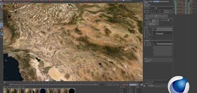
Yeah, you can. To walk you through just that, is the Creative Director & Visual Effects Artist at Two Reel FX, Tobias Steiner. He shows off a method for creating physically accurate terrain geometry. The terrain will be based on elevation data. There is also a segment that shows how to create procedural textures in Arnold Render. That should get you a customizable earth-like look to the scene.
The tutorial uses a free application to covert the file format into something that C4D can read. 3DEM isn’t supported any longer, but still works for this. The application will let you produce three dimensional terrain scenes and flyby animations. Therefore it convert a wide variety of freely available data sources including the USGS Digital Elevation Model (ASCII) files.
There is another tutorial that might interest you, where Kevin Snyder also showed how to map GIS and digital elevation data in cinema 4d to create great looking map animations.